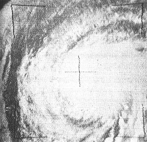
In September 1961, Earth's best meteorologists got scooped on a major story. Tiros III, an American satellite, had returned an image of what appeared to be a major hurricane. Storms had been photographed from space before, but this was the first time a serious storm had been discovered from orbit.

This was a huge moment for both the space program and weather tracking in general. The Tiros satellite's hardware was primitive but effective: While it took hours to transmit the imagery, which was stored on magnetic tape, via FM signal to Earth, the resulting photographs were of fairly high quality. Good enough, according to Deputy Assistant Secretary for Scientific Programs Fred Singer, to do real science:
Esther will be assured a place in meteorological history... In all cases, the Tiros pictures provided important supplements to reconnaissance aircraft observations and to data obtained by ground-based observations, by fixing the position of the hurricane center and showing the extent of the spiral cloud bands.
...It has now become possible to deduce the strength of the hurricane winds from the degree of organization seen in satellite pictures.
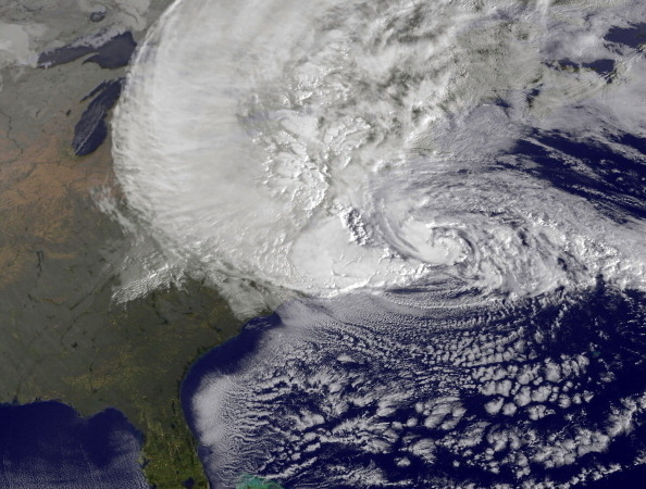
Today's satellites can record high-definition, full-color imagery and send it back to Earth nearly instantaneously, and since the '60s, orbital imagery has remained a valuable part of the meteorologist's arsenal. It has also dramatically changed the way regular people experience storms: first as abstract weather animations, then as satellite images, then, days later, as actual weather.
Before satellite imagery, hurricane tracking was largely blind; that is to say, it was based on nonvisual data. Weather stations on islands across the globe, in conjunction with ships in transit, served as a sort of early warning system. It's estimated that before World War II, after which storm tracking by aircraft and coastal radar became widespread, storms were undercounted by at least one per year. If a storm never made landfall, or only did so in one or two locations, it could be lost to history.
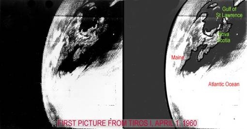
Anyway, as we inch ever closer to having full, real-time satellite imagery of our Earth's surface, it's worth remembering that it all started with this, the first image of the Earth's surface taken by a satellite, the Tiros I: