
BuzzFeed News has reporters across five continents bringing you trustworthy stories about the impact of the coronavirus. To help keep this news free, become a member and sign up for our newsletter, Outbreak Today.
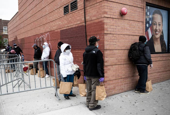
COVID-19 has hit urban America hard. The country's 15 largest metro areas account for just one-third of the nation's population, but more than 60% of coronavirus cases and deaths.
But even within hard-hit cities, the novel coronavirus has spread unequally — largely sparing some neighborhoods, while devastating others, according to a ZIP code–level analysis of case counts from five major cities by BuzzFeed News.
The particular dynamics differ from city to city, but the maps and charts below show how the virus has exacerbated health inequities that have persisted in America for decades.
While different factors stood out in each city, our analysis found that the ZIP codes with more cases per person tended to be lower income, have more elderly residents, and be communities of color.
To be sure, the official case counts almost certainly undercount the actual number of infections. Government agencies have been slow to roll out testing, and not everyone has the same chance to get tested. Deaths would be a more reliable metric, but far fewer cities are publishing those counts by ZIP code. Another issue: ZIP codes often contain thousands of residents, so the people testing positive might not be representative of the population at large. That said, the ZIP code case counts, published by a growing number of cities and states, appear to be the best representation available of COVID-19 at a hyperlocal level.
New York City
The map above shows the number of cases per 1,000 people in each ZIP code. In New York City, COVID-19 appears to have struck hardest in neighborhoods where more people share the same house or apartment — making it more difficult to self-isolate. The chart below, which features one dot per ZIP code, shows the strong correlation between average household size and confirmed cases per capita:
ZIP code 11368 in Corona, Queens, is a prime example: It has an average of 3.9 people per household, the second most of any ZIP in New York City. And at more than 33 COVID-19 cases per 1,000 people, it ranks as the city’s seventh-most affected ZIP.
Communities with large concentrations of frontline service workers have also been hit hard. You can see this in the chart below, which examines COVID-19 rates by the percentage of workers who are employed in healthcare, food service, cleaning, and transportation professions, using a definition created by the Association for Neighborhood & Housing Development:
Since at least early April, the local nonprofit has been warning of the heavy impact that frontline communities face from COVID-19.
Many people in those neighborhoods are just scraping by, with a higher-than-average proportion of their income going to housing, the nonprofit noted: "Not only are frontline workers risking their lives, they’re still worrying about paying their rent in the midst of a global pandemic."
Case rates are also among the lowest in the city’s richest neighborhoods. In fact, four of the six ZIP codes with the lowest case rates are in lower Manhattan, centered around the city’s Financial District, and have a median household income above $150,000.
Communities of color have also been hit hard by the virus. The death rate in New York City for black residents is double the rate for white residents when adjusted for age. Only 32% of the city’s residents are white, but nine of the 10 ZIP codes with the lowest case rates of COVID-19 are at least 60% white. Four ZIP codes in the Bronx have been hit particularly hard by the virus, with more than 30 cases per 1,000 residents.
“The South Bronx has a higher than average rate of overcrowding, and residents have a longer than average commute compared to other New York neighborhoods, putting them at risk even as they travel to and from work,” Lena Afridi, the policy director for the Association for Neighborhood and Housing Development, told BuzzFeed News. “This creates a perfect storm for the virus to spread.”
Chicago
In Chicago, COVID-19 has hit hardest in the city’s poorest neighborhoods. ZIP code 60624 is home to the neighborhood of West Garfield Park, which has the highest homicide rate in the entire city. There, 44% of households live below the poverty line, and more than 1 in 100 residents have officially contracted COVID-19 — one of the highest rates in the entire city.
As in New York City, the Chicago neighborhoods with more residents of color have also seen higher case rates, which in turn have translated into higher death tolls. According to the latest statistics, black Chicagoans account for more than 50% of the city’s COVID-19 deaths, despite being only 30% of the city’s population.
“I think that what you are noticing in the data is just a manifestation of several different factors: broadly, structural racism and structural inequities,” University of Illinois at Chicago professor Lionel Allen told BuzzFeed News. “There has been a long history of structural inequities particularly here in Chicago, which has long been one of the most segregated cities in America.”
Even before the pandemic, there was a 26-year difference in life expectancy between the Streeterville neighborhood on Lake Michigan and North Lawndale on the West Side. In Streeterville, the life expectancy was 90 and in North Lawndale it was 64. Today, those neighborhoods are also at opposite ends of the coronavirus toll: Streeterville has one of the lowest case rates, North Lawndale one of the highest.
“It doesn't surprise me that we're seeing similar racial disparity,” Allen said.
Also similar to New York City: Chicago ZIP codes with higher proportions of frontline workers and larger household sizes have been hit hardest — a trend visible in the charts below.
Garth Walker, an emergency physician in the city and a research fellow at Northwestern who is quarantining apart from his family, said he had treated others who could not do the same because of their living situation. “Most physicians have the ability to quarantine effectively,” Walker said. “But it’s another thing when we’re talking to people on the Southwest Side where you might have multiple generations in the same household.”
Detroit
As elsewhere, Detroit has experienced major racial disparities in its COVID-19 cases and deaths — disparities that are visible in the city’s geography. ZIP code 48235 — the bright yellow rectangle on the northwest part of the map — has nearly 20 cases per 1,000 people, the most in the city. Ninety-seven percent of its residents are black.
The three ZIP codes with the smallest proportion of black residents also have the lowest incidence of confirmed COVID-19 cases.
Areas of the city with a larger proportion of elderly residents — those age 65 and above — also generally have a higher rate of cases.
Philadelphia
Philadelphia has more than 15,000 confirmed cases and more than 600 deaths so far. ZIP codes with older populations have some of the highest case rates in the city:
Black neighborhoods in the city have also been hit relatively hard. ZIP code 19126, which includes part of East Oak Lane and where 82% of residents are black, has the highest case rate at more than 17 cases per 1,000 people. Several neighborhoods with the highest proportions of white residents, such as Bridesburg and Manayunk, have fewer than 3 cases per 1,000 residents.
Baltimore
In the city of Baltimore, which has more than 2,000 confirmed cases, the trends are not as clear as in other cities, but case rates are higher in ZIP codes with a large proportion of older residents.
Deaths in nursing homes account for more than half of all COVID-19 deaths in Maryland, according to the Baltimore Sun, and Gov. Larry Hogan recently ordered “universal” testing at all nursing homes.
“Those buildings are also places where there have been more spread because those people have visitors that come in and they share common areas,” Dr. Lisa Cooper, a professor at Johns Hopkins who studies inequities in healthcare, told BuzzFeed News.