1.
2.
3.
4.
5.
6.
7.
8.
9.
10.
11.
12.
The gigantic storm, the most powerful hurricane in recorded history, is expected to make landfall in Mexico on Friday night.

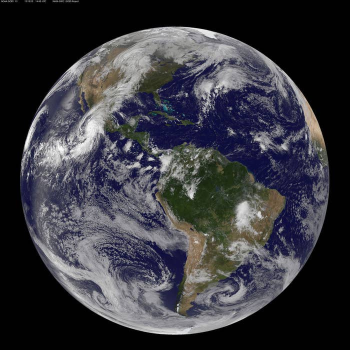
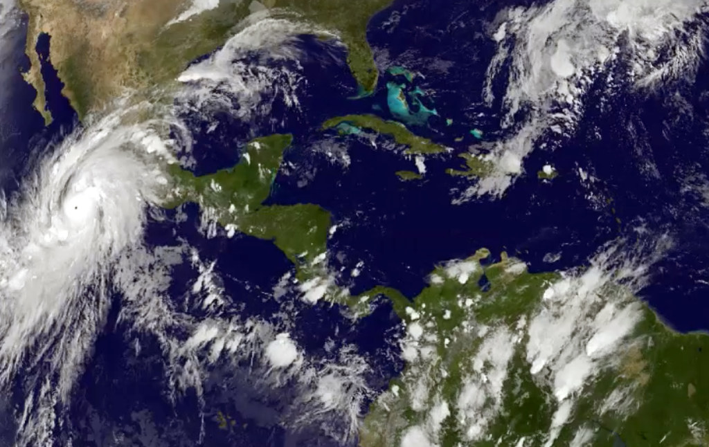
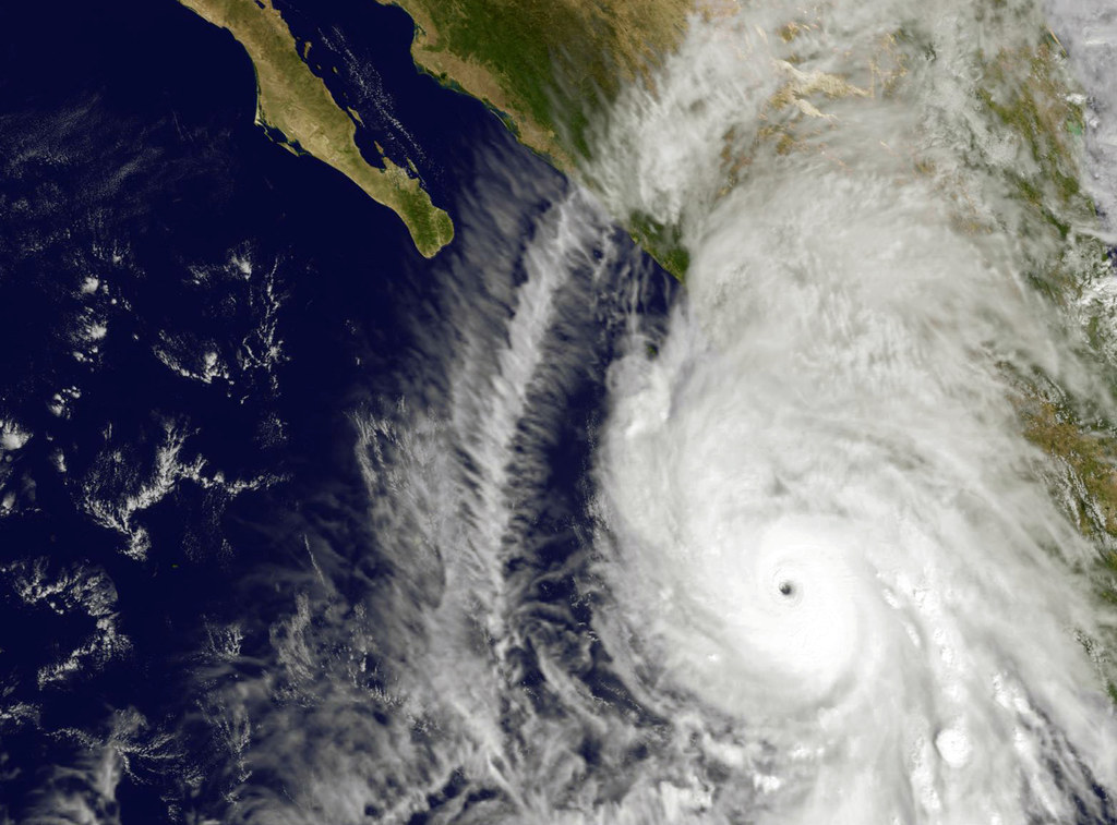
Image from NOAA’s GOES-13 satellite captured at 14:45 UTC (10:45 a.m. EDT) shows Hurricane Patricia off the coast of Mexico on Oct. 23, 2015.

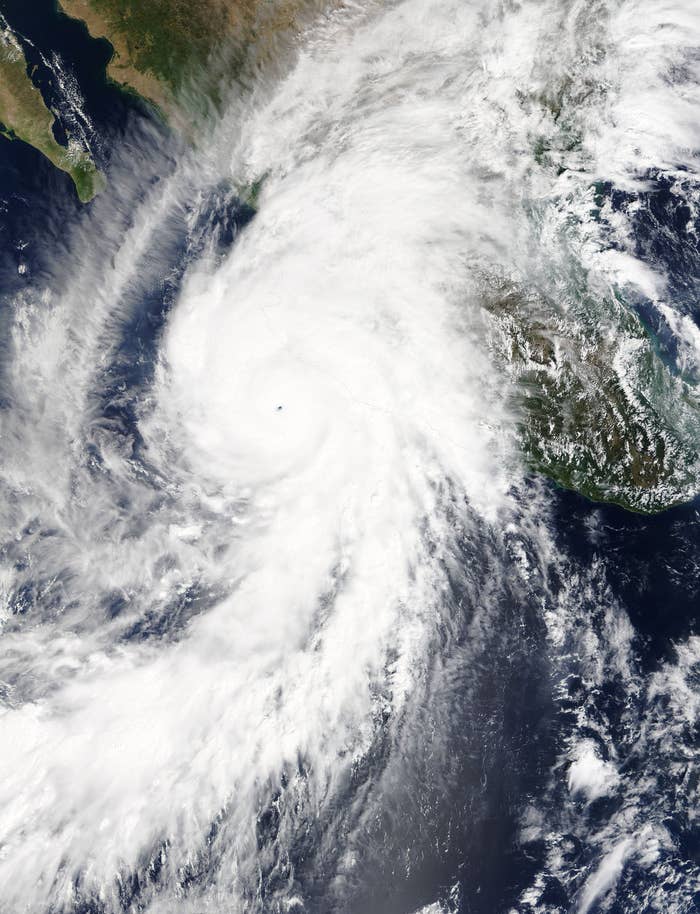
On Oct. 23 at 17:30 UTC (1:30 p.m. EDT) the MODIS instrument aboard NASA's Terra satellite saw Hurricane Patricia moving over Mexico.

This satellite image taken at 9:30 a.m. EDT on Friday, Oct. 23, 2015, was released by the National Oceanic and Atmospheric Administration shows Hurricane Patricia.

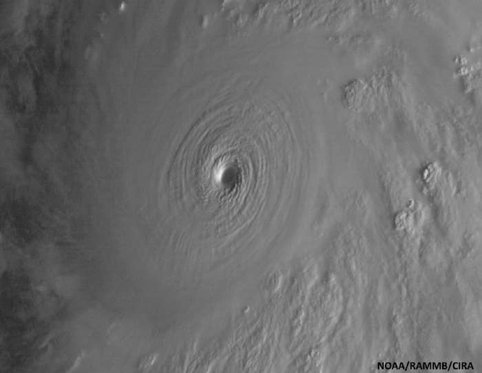
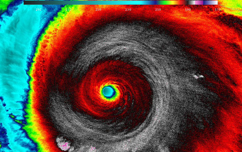
This image showing the eye of Hurricane Patricia was taken by the Suomi NPP satellite's VIIRS instrument around 0930Z on Oct. 23, 2015.

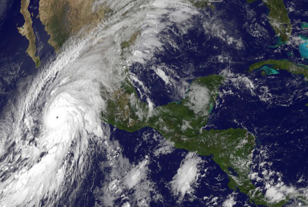
Satellite image taken at 8:45 p.m. EDT on Thursday, Oct. 22, 2015, shows Hurricane Patricia, left, moving over Mexico's central Pacific Coast.

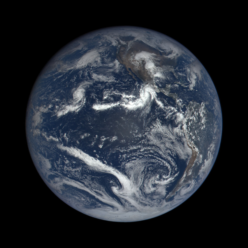
This image was captured nearly 1 million miles from Earth at 4:00 p.m. EDT (19:00:18 GMT), on Oct. 22, 2015.

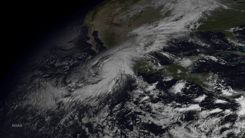
This image was taken by GOES East at 1445Z on Oct. 23, 2015.

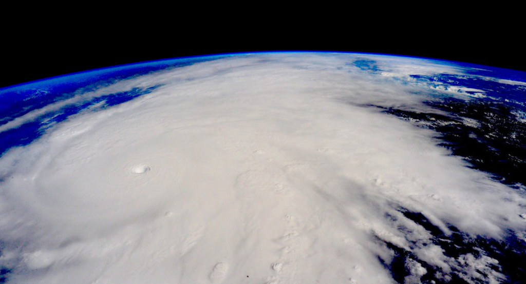
This image taken Friday, Oct. 23, 2015, from the International Space Station.

This satellite image taken at 1:45 p.m. EDT on Friday, Oct. 23, 2015, and released by NASA, shows the eastern quadrant and pinhole eye of Hurricane Patricia moving toward southwestern Mexico.

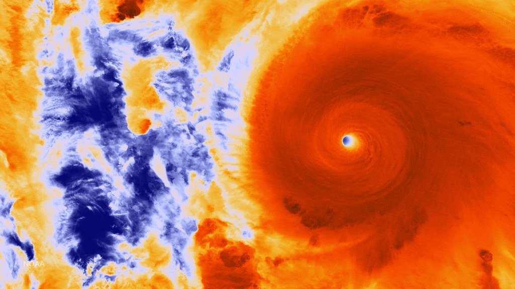
When NASA-NOAA's Suomi NPP satellite passed over Patricia on Oct. 23 at 5:20 a.m. EDT, the VIIRS instrument that flies aboard Suomi NPP looked at the storm in infrared light.

This satellite image taken at 10 a.m. EDT on Friday, Oct. 23, 2015, and released by the National Oceanic and Atmospheric Administration shows Hurricane Patricia, left, moving over Mexico's Pacific Coast.

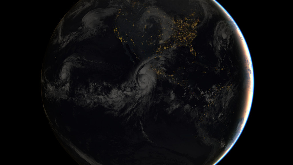
Composite image of Category 5 Hurricane Patricia, off the Pacific coast of Mexico, from 06:00 UTC on Friday, Oct. 23, 2015.