
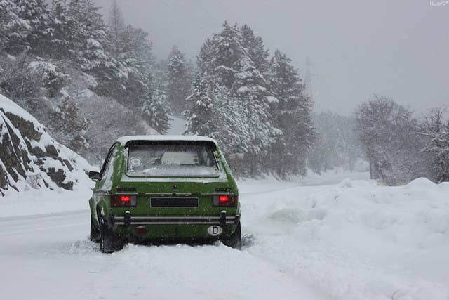
Winter is coming. We’ll just have to wait a while, U.S. federal forecasters say.
After a wild winter in the USA — with blizzards in New Mexico, floods cresting along the Mississippi River, and 66-degree temps for Christmas in New York — a more normal wintertime looks likely by the end of January.
“We will get winter back,” climate scientist Michelle L'Heureux of the National Oceanic and Atmospheric Administration told BuzzFeed News. “It will seem cold to people, but that’s because it will be normal.”
On Monday, NOAA’s Climate Prediction Center released an update on El Niño, the bloom of heated water stretching across the Pacific Ocean that has, as predicted, helped power much of the recent weird weather. Added punch to a warm, wet winter overall in North America has come from global warming increasing ocean temperatures in combination with a strong El Niño, climate scientist Michael Mann of Penn State University told BuzzFeed News.
The new NOAA analysis predicts that our current El Niño, one of the strongest ever recorded, will fade away around May. But that doesn’t mean we’ll have a warm winter for that long, L'Heureux said. Much of the excess warmth in the Pacific that created El Niño conditions has been discharged in the last two months, meaning that water temperatures and the weather will almost certainly return to normal.
And while El Niño and an Arctic wind pattern that has locked up cold air (this is ending with a North Atlantic storm expected to drive temperatures up above freezing at the North Pole) get much of the blame for the odd U.S. winter, another player in the global weather system is about to shake things up.
The Madden-Julian Oscillation (MJO), a cycle of tropical winds and rains that regularly play ping-pong between the Indian and Pacific oceans, will probably strengthen in coming weeks, according to a separate NOAA analysis released on Monday. The MJO is heading eastward and promises to return winter to normal in North America.
In the past, a stronger MJO has delivered more rain and snow to the West Coast during wintertime. And for snow-starved Easterners, the MJO most often means cold air outbreaks in the Eastern United States. Its effects are usually felt on a time scale of a few weeks, L'Heureux said, with a switch back to its promised colder winter likely manifest around the end of January. “I wouldn’t give up on snow just yet this winter.”
And what comes after El Niño fades away? Climate forecasters are still taking bets, L’Heureux said. There’s about a 30% chance that autumn will bring La Niña, the opposite of El Niño, in which cool temperatures cross the Pacific Ocean and typically deliver outbursts of deep freezes to East Coast cities.
Another El Niño next winter looks like the worst bet, but if it happened, it would deliver another warm, soggy winter. “I would not count on that happening,” L’Heureux said. “This El Niño has discharged most of its energy, and the heat has to come from somewhere.”